 Trexmount Ventures
Trexmount Ventures
Trexmount Ventures

Popular Searches
Ready to plan your next getaway? Let’s connect and create something incredible together.

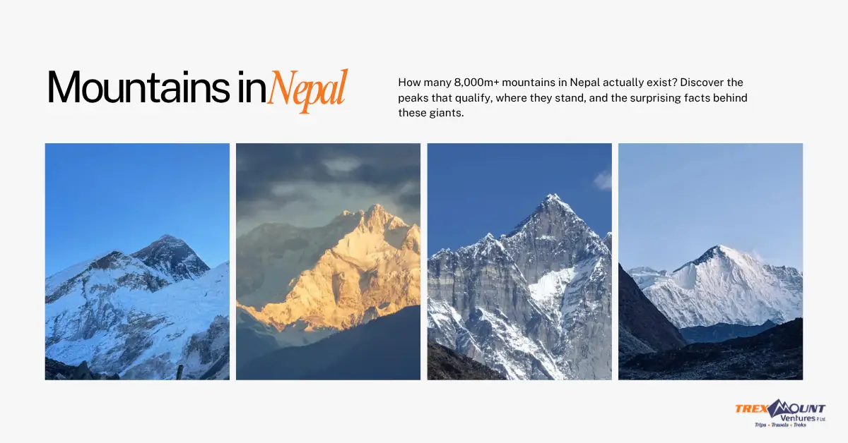
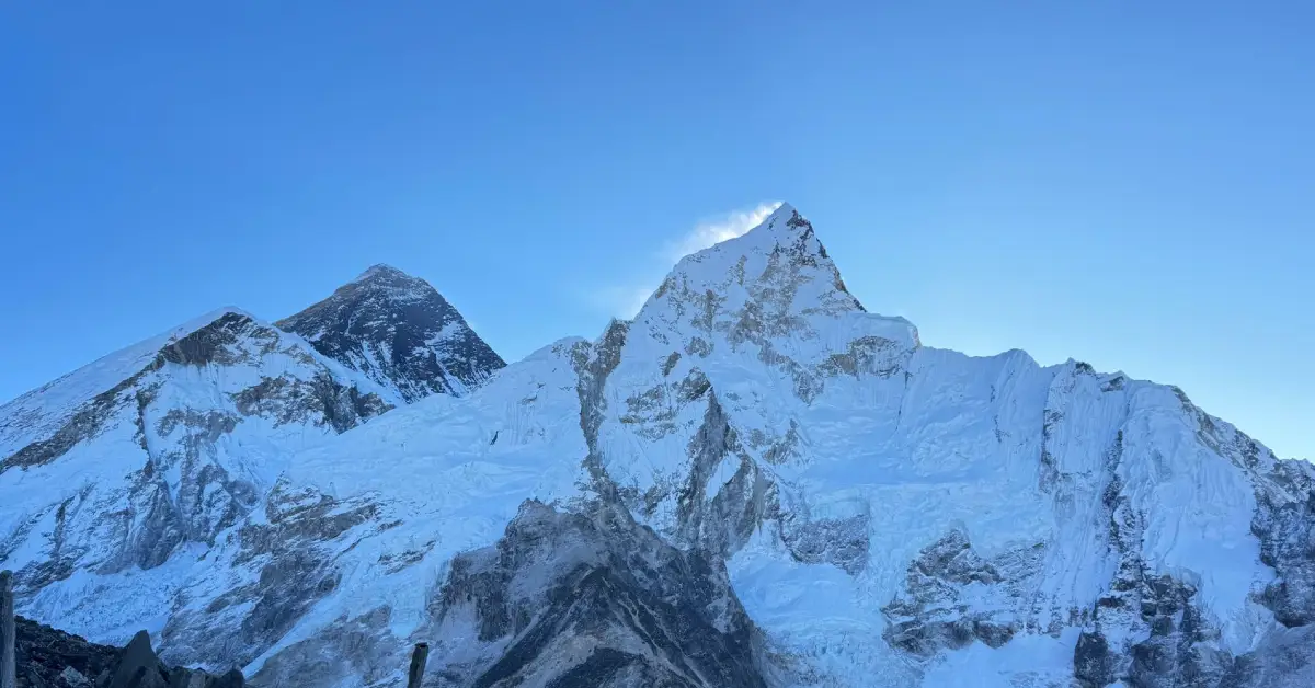
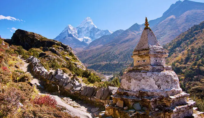
Mount Everest, standing at 8,848.86 meters (29,031.7 feet), is the highest point on Earth. Every year, hundreds of climbers from around the world attempt to reach its summit. However, before a single step is taken toward the top, one of the most important decisions that must be made is choosing the right route. This guide breaks down every major Everest route to the summit, covering facts, distances, costs, and what each path demands of its climbers.
There are two main routes that are used to climb Mount Everest: the South Col Route from Nepal and the Northeast Ridge Route from Tibet. Both routes have been used successfully for decades and are recognized as the only commercially operated paths to the summit. While over a dozen different routes to climb Everest have been explored by elite mountaineers, only these two are currently available to most expedition teams.
| Route | Country | First Climbed | Difficulty |
|---|---|---|---|
| South Col Route | Nepal | 1953 | Moderate to High |
| Northeast Ridge Route | Tibet (China) | 1960 | High |
| West Ridge | Nepal/Tibet | 1963 | Very High |
| Southwest Face | Nepal | 1975 | Extreme |
| North Face | Tibet | 1980 | Extreme |
The West Ridge, Southwest Face, and North Face routes are considered non-commercial and are rarely attempted. They are reserved for highly experienced alpinists.
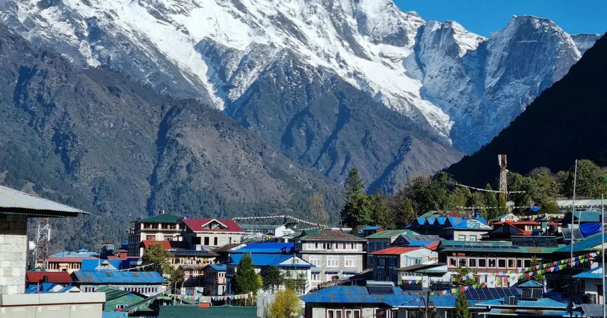
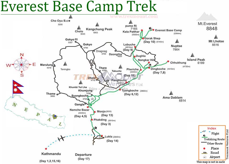
The most commonly asked question now is “What are the route available to reach the peak of Everest?” And the answer is the most commonly used route to reach the peak of Everest is the South Col Route, also called the Everest South Col route. This path starts from Lukla in Nepal, passes through Namche Bazaar, and reaches Everest Base Camp (EBC) at 5,364 meters. From Base Camp, climbers move through the Khumbu Icefall, the Western Cwm, the Lhotse Face, the South Col (Camp IV at 7,906 meters), and finally push to the summit.
The Mount Everest route from Base Camp to the summit covers approximately 12 kilometers in a straight line, but the actual climbing distance is far greater due to the terrain.
| Camp | Altitude | Key Feature |
|---|---|---|
| Base Camp | 5,364 m | Starting point for all Nepal climbs |
| Camp I | 6,065 m | Above the Khumbu Icefall |
| Camp II | 6,500 m | Advanced Base Camp in Western Cwm |
| Camp III | 7,200 m | On the Lhotse Face |
| Camp IV (South Col) | 7,906 m | Final high camp before summit push |
| Summit | 8,848.86 m | Highest point on Earth |
The total mount Everest climbing route distance from Base Camp to the summit is roughly 12 km horizontally, but vertical gain is approximately 3,500 meters. Summit attempts are typically launched from Camp IV late at night, around 8 PM to 10 PM, so that climbers reach the summit in the early morning.
The Northeast Ridge Route starts from Tibet. Climbers access it through Lhasa and then drive to the Tibetan Base Camp at 5,150 meters. This route passes through the North Col (7,020 m), and climbers then navigate the North Ridge before reaching the Three Steps, rocky bands near the summit. This route is particularly popular among Chinese and Tibetan climbers.
| Camp | Altitude | Key Feature |
|---|---|---|
| Tibetan Base Camp | 5,150 m | Entry point from Tibet |
| Advanced Base Camp | 6,400 m | Main acclimatization point |
| North Col Camp | 7,020 m | First technical section |
| Camp V | 7,775 m | High-altitude rest point |
| Camp VI | 8,230 m | Final push camp |
| Summit | 8,848.86 m | Highest point on Earth |
Mount Everest starts at its base in the Khumbu region of Nepal on the southern side and in the Tibetan Plateau on the northern side. The climb is generally considered to begin at Everest Base Camp, which sits at 5,364 meters on the Nepal side and 5,150 meters on the Tibet side. The mountain ends or peaks at the summit at 8,848.86 meters above sea level.
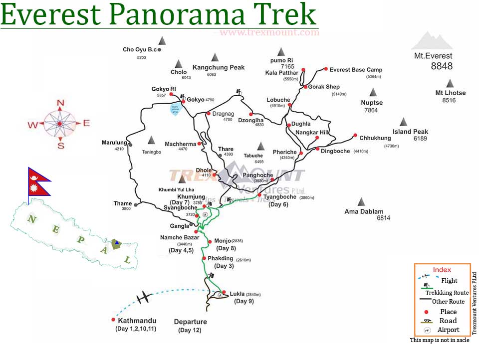
The Everest route map shows that the mountain straddles the border between Nepal and the Tibet Autonomous Region of China. The summit itself lies on this border. On the Nepal side, the approach trek from Lukla to Base Camp covers about 65 kilometers and takes 8 to 12 days on average. On the Tibet side, the approach is done largely by vehicle, making it logistically shorter but no less demanding at altitude.
The easiest Everest route is widely considered to be the South Col Route from Nepal. This is also the most common Everest route and the one used by the majority of guided commercial expeditions. It was first climbed by Sir Edmund Hillary and Tenzing Norgay Sherpa on May 29, 1953, and has been the standard path ever since.
However, “easiest” is entirely relative. The Everest South Col route still requires a minimum of 6 to 8 weeks on the mountain, prior high-altitude experience, and excellent physical conditioning. The Khumbu Icefall remains one of the most dangerous sections on any Everest route to summit.
| Route | Estimated Total Cost (USD) |
|---|---|
| South Col Route (Nepal) | $45,000 to $100,000+ |
| Northeast Ridge (Tibet) | $35,000 to $75,000+ |
Costs vary based on the operator, logistics, oxygen supply, and support team size.
Climbing Everest requires a government-issued permit, and the cost and issuing authority differ depending on whether you climb from Nepal or Tibet.
| Permit Type | Issuing Authority | Estimated Cost (USD) |
|---|---|---|
| Expedition Permit | Nepal Government (Ministry of Tourism) | $11,000 per person |
| Sagarmatha National Park Entry Permit | Nepal Government | $30 per person |
| Khumbu Pasang Lhamu Rural Municipality Fee | Local Government | ~$20 per person |
| Permit Type | Issuing Authority | Estimated Cost (USD) |
|---|---|---|
| Tibet Travel Permit | Tibet Tourism Bureau | Included in expedition fee |
| Alien’s Travel Permit | Tibet Public Security Bureau | Included in expedition fee |
| Mountaineering Permit | China Tibet Mountaineering Association | ~$9,000 per person |
Additionally, climbers are required to hire a licensed Liaison Officer and work through a registered guiding company. Solo, unguided permits are not issued on either side of the mountain.
A standard Everest expedition takes 60 to 70 days from arrival in Kathmandu to return. This time includes the trek to Base Camp, multiple acclimatization rotations up and down the mountain, waiting for a suitable weather window, the summit push, and the descent. The actual summit day typically takes 12 to 18 hours from Camp IV and back.
As of 2024, over 6,000 individuals have reached the summit of Everest. The total number of successful ascents exceeds 11,000, since many climbers have summited more than once. The record for most summits belongs to Kami Rita Sherpa, who has reached the top over 29 times.
The overall death rate on Everest is approximately 1 to 1.5 percent of all summit attempts. The most dangerous sections include the Khumbu Icefall, the Hillary Step, and the Death Zone above 8,000 meters. Avalanches, falls, altitude sickness, and extreme cold are the leading causes of death.
The best time to climb Everest is during the pre-monsoon season in May. This period offers the most stable weather windows and is when the majority of summits are recorded. A secondary window exists in September and October during the post-monsoon season, though it is used far less frequently.
Yes. Prior experience is essential. Most guiding companies require climbers to have previously summited a peak above 7,000 meters, such as Island Peak, Mera Peak, or Aconcagua. Experience with technical skills like using crampons, fixed ropes, and supplemental oxygen is also required.
Oxygen is not legally mandatory, but it is strongly recommended and used by the vast majority of climbers. The Death Zone above 8,000 meters has roughly one-third of the oxygen available at sea level. Climbing without oxygen, known as an oxygenless ascent, is extremely rare and has been achieved by fewer than 200 people.
The Hillary Step is a near-vertical rock face located at approximately 8,790 meters on the South Col Route, just below the summit. It is named after Sir Edmund Hillary. The Step is considered one of the most technically demanding sections of the climb and often creates a bottleneck due to fixed rope traffic.
No. A climber must choose either the Nepal side (South Col Route) or the Tibet side (Northeast Ridge). The permits are issued separately by the governments of Nepal and China and are not interchangeable. Crossing from one side to the other during a climb is not permitted.
The Everest Base Camp on the Nepal side is located at 5,364 meters (17,598 feet). The Tibetan Base Camp sits at approximately 5,150 meters (16,900 feet). Both camps serve as the logistical hub for expeditions and are where teams spend several weeks acclimatizing before moving higher.
At Trexmount Ventures, we bring deep expertise, local knowledge, and a genuine passion for the Himalayas to every expedition we operate. Whether you are looking to trek to Everest Base Camp for the first time or you are a seasoned alpinist ready to attempt the South Col Route, our team is here to guide you every step of the way. We handle permits, logistics, Sherpa coordination, gear support, and acclimatization planning so that you can focus entirely on the climb.

Welcome to Trexmount Ventures !